
Friends Bridge, Pedestrian bridge (footbridge) in Hackney, London, England, United Kingdom; Hackney, London, England, United Kingdom
Posizione: London Borough of Hackney
Coordinate GPS: 51.56144,-0.03730
Ultimo aggiornamento: 5 marzo 2025 alle 15:42

New Spitalfields Market
1.3 km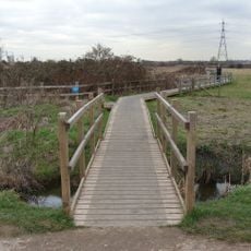
Walthamstow Marshes
1.3 km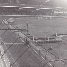
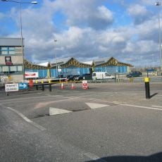
Clapton Stadium
560 m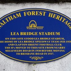
Lea Bridge Stadium
577 m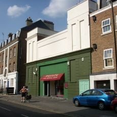
Castle Cinema
1.3 km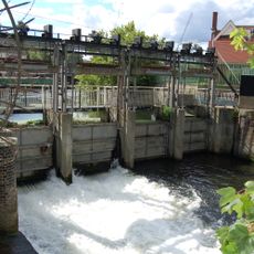
Middlesex Filter Beds Weir
499 m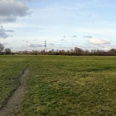
Leyton Marshes
843 m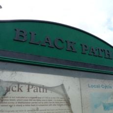
Black Path
1.3 km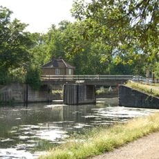
Pond Lane Flood Gates
443 m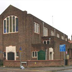
Emmanuel Church (Parish Church Of Emmanuel)
1 km
Energy Sculpture London
1.4 km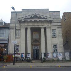
Chats Palace
1.3 km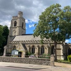
Church of St Barnabas
1.4 km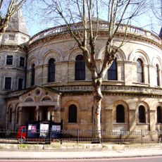
United Reformed Church
1.4 km
Church of St Saviour
1.5 km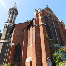
Church of St James the Great
1.4 km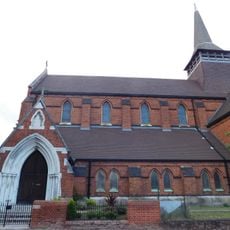
Former Church of St Paul
1.1 km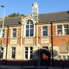
Lea Bridge Library
1.4 km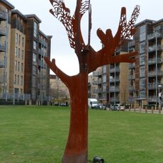
Friendship Tree
747 m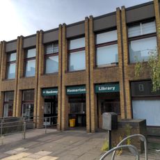
Homerton Library
1.4 km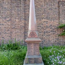
War memorial in the churchyard of the Church of Emmanuel, Leyton
1 km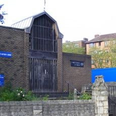
St Matthew
1.3 km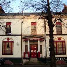
Pond House
1.3 km
Salvation Army Congress Hall
1.3 km
The Salvation Army Mothers' Hospital, Front Buildings
1.4 km
Verger's House To United Reformed Church
1.4 km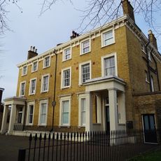
126 And 128, Lower Clapton Road E5
1.4 km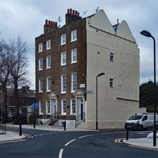
158 And 160, Lower Clapton Road E5
1.3 kmRecensioni
Ha visitato questo luogo? Tocchi le stelle per valutarlo e condividere la Sua esperienza o foto con la community! Provalo ora! Puoi annullarlo in qualsiasi momento.
Scopri tesori nascosti ad ogni viaggio!
Da piccoli caffè caratteristici a panorami nascosti, fuggi dalla folla e scova i posti che fanno davvero per te. La nostra app ti semplifica tutto: ricerca vocale, filtri furbi, percorsi ottimizzati e dritte autentiche da viaggiatori di tutto il mondo. Scaricala subito per vivere l'avventura sul tuo smartphone!

Un nuovo approccio alla scoperta turistica❞
— Le Figaro
Tutti i luoghi che meritano di essere esplorati❞
— France Info
Un’escursione su misura in pochi clic❞
— 20 Minutes