
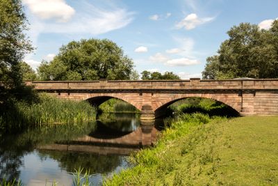
Bridge Over River Ouse, bridge in Old Stratford, South Northamptonshire, Northamptonshire, UK
Posizione: Old Stratford
Coordinate GPS: 52.06162,-0.86174
Ultimo aggiornamento: 5 marzo 2025 alle 13:37
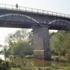
Cosgrove aqueduct
2.1 km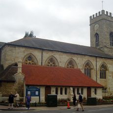
Parish Church of St Mary and St Giles
760 m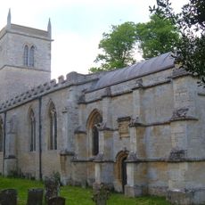
Church of St Guthlac, Passenham
1.5 km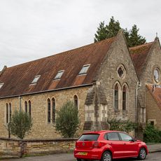
Church of St Mary
1.1 km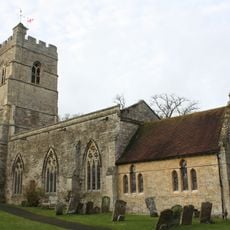
Church of St Peter and St Paul
1.8 km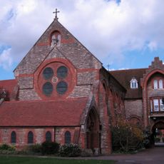
Former St Anthonys Franciscan Preparatory School
467 m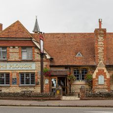
The Plough Inn
1 km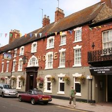
The Cock Hotel
712 m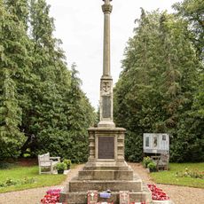
Stony Stratford War Memorial Cross
1 km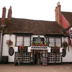
The Old George
829 m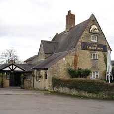
The Barley Mow Public House
1.9 km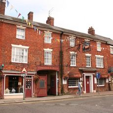
The Bull Hotel
746 m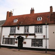
The Crown Public House
834 m
St Mary's Parish Hall
1.1 km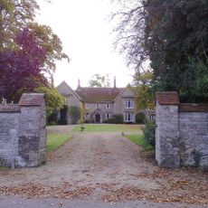
The Manor House And Attached Walls And Gates
1.5 km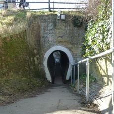
The Horse Tunnel
2 km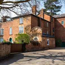
Old Wolverton Mill
1.4 km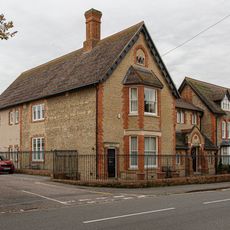
Working Men's Social Club
1.1 km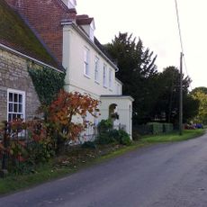
Manor Farmhouse
1.4 km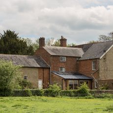
Wolverton Park
2.1 km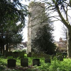
Remains of the church and churchyard of St Mary Magdalen
559 m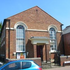
Methodist Church And Church Hall
893 m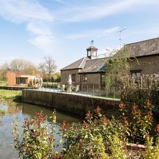
Barn And Coach House To East Of Old Wolverton Mill
1.4 km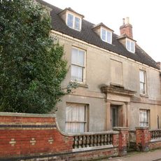
Stratford House
769 m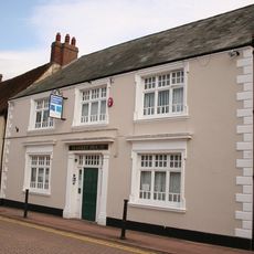
8, Market Square
835 m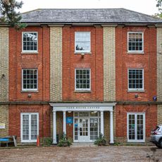
York House (Youth Club)
1.2 km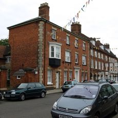
Tower House
570 m
Milestone, Watling Street; just SE of Galley Hill traffic island
2 kmRecensioni
Ha visitato questo luogo? Tocchi le stelle per valutarlo e condividere la Sua esperienza o foto con la community! Provalo ora! Puoi annullarlo in qualsiasi momento.
Scopri tesori nascosti ad ogni viaggio!
Da piccoli caffè caratteristici a panorami nascosti, fuggi dalla folla e scova i posti che fanno davvero per te. La nostra app ti semplifica tutto: ricerca vocale, filtri furbi, percorsi ottimizzati e dritte autentiche da viaggiatori di tutto il mondo. Scaricala subito per vivere l'avventura sul tuo smartphone!

Un nuovo approccio alla scoperta turistica❞
— Le Figaro
Tutti i luoghi che meritano di essere esplorati❞
— France Info
Un’escursione su misura in pochi clic❞
— 20 Minutes