
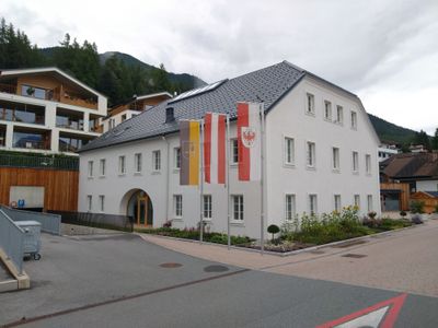
Gemeindeamt Reith bei Seefeld, Gemeindeamt in Reith bei Seefeld, Tirol
Posizione: Reith bei Seefeld
Inizio: 1840s
Indirizzo: Römerstraße 16
Coordinate GPS: 47.29997,11.20247
Ultimo aggiornamento: 3 marzo 2025 alle 00:20
Zirler Berg
2.4 km
Rauenkopf
2.2 km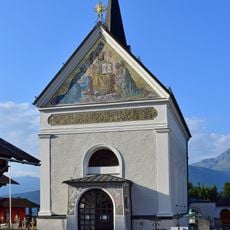
Pfarrkirche Reith bei Seefeld
248 m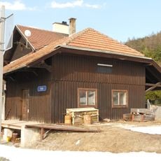
Stazione di Reith
167 m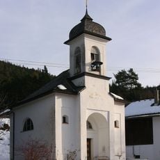
Mariahilfkapelle, Auland
947 m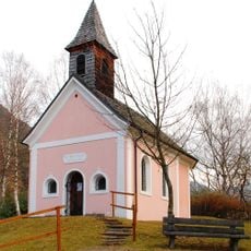
Neue Magnuskapelle
1.8 km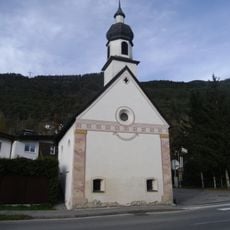
Ortskapelle hl. Pankratius
2.1 km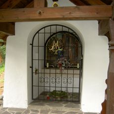
Frau Häusl-Kapelle, Kapelle Mariä Heimsuchung
629 m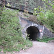
Brücke zw. Pflegerbach und Haltestelle Leithen
1.9 km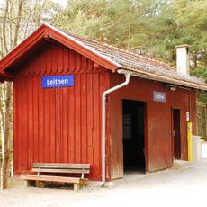
Leithen railway station
1.8 km
Alte Römerbrücke
1.9 km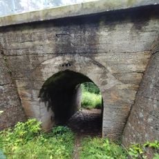
Brücke nach Haltestelle Leithen
1.7 km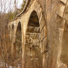
Gurglbachviadukt
435 m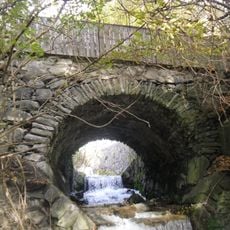
Alte Römerbrücke
1.9 km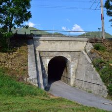
Eisenbahnbrücke, 2 Brücken zw. Gurglbachviadukt u. Aufnahmsgebäude Reith
130 m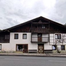
Bauernhaus Römerstraße 11, Reith bei Seefeld
31 m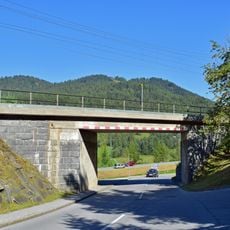
2 Brücken zw. Aufnahmsgebäude Reith u. Brücke Kaltwasserbad
367 m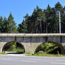
Hermelesbachviadukt
1.7 km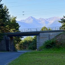
Brücke vor dem Gurglbachviadukt
450 m
Pestmarterl
1.6 km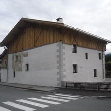
Wohnhaus, Riesenhaus
1.7 km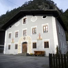
Wohnhaus, ehem. Tax'sches Posthaus
1.9 km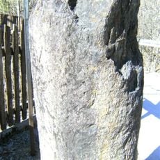
Grenzstein, Römerstein
482 m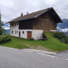
Bauernhaus Römerstraße 47, Reith bei Seefeld
567 m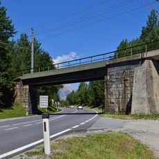
Brücke nach Hermelesbachviadukt
1.7 km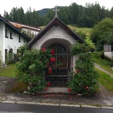
Nikolauskapelle, Reith bei Seefeld
19 m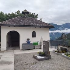
Totenkapelle, Reith bei Seefeld
249 m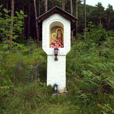
Marienbildstock, Leithen
2 kmRecensioni
Ha visitato questo luogo? Tocchi le stelle per valutarlo e condividere la Sua esperienza o foto con la community! Provalo ora! Puoi annullarlo in qualsiasi momento.
Scopri tesori nascosti ad ogni viaggio!
Da piccoli caffè caratteristici a panorami nascosti, fuggi dalla folla e scova i posti che fanno davvero per te. La nostra app ti semplifica tutto: ricerca vocale, filtri furbi, percorsi ottimizzati e dritte autentiche da viaggiatori di tutto il mondo. Scaricala subito per vivere l'avventura sul tuo smartphone!

Un nuovo approccio alla scoperta turistica❞
— Le Figaro
Tutti i luoghi che meritano di essere esplorati❞
— France Info
Un’escursione su misura in pochi clic❞
— 20 Minutes