
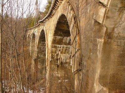
Gurglbachviadukt, Viadukt in Reith bei Seefeld (95684)
Posizione: Reith bei Seefeld
Coordinate GPS: 47.29691,11.20605
Ultimo aggiornamento: 4 marzo 2025 alle 23:49
Zirler Berg
2 km
Abwasserkraftwerk Seefeld
2 km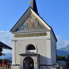
Pfarrkirche Reith bei Seefeld
187 m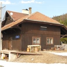
Stazione di Reith
597 m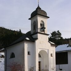
Mariahilfkapelle, Auland
1.3 km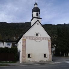
Ortskapelle hl. Pankratius
1.7 km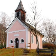
Neue Magnuskapelle
1.4 km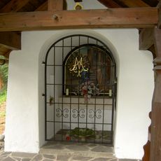
Frau Häusl-Kapelle, Kapelle Mariä Heimsuchung
510 m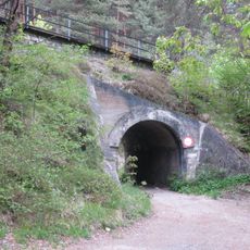
Brücke zw. Pflegerbach und Haltestelle Leithen
1.5 km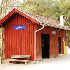
Leithen railway station
1.4 km
Alte Römerbrücke
1.8 km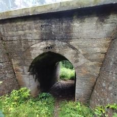
Brücke nach Haltestelle Leithen
1.3 km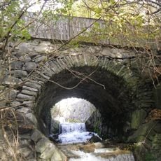
Alte Römerbrücke
1.8 km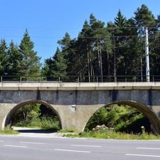
Hermelesbachviadukt
2.1 km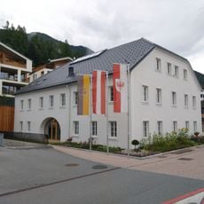
Gemeindeamt Reith bei Seefeld
435 m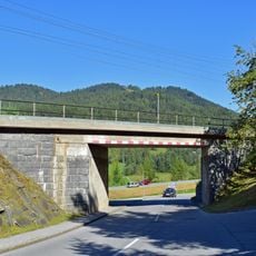
2 Brücken zw. Aufnahmsgebäude Reith u. Brücke Kaltwasserbad
798 m
Pestmarterl
1.2 km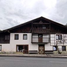
Bauernhaus Römerstraße 11, Reith bei Seefeld
467 m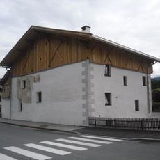
Wohnhaus, Riesenhaus
1.3 km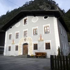
Wohnhaus, ehem. Tax'sches Posthaus
1.8 km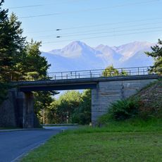
Brücke vor dem Gurglbachviadukt
15 m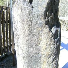
Grenzstein, Römerstein
111 m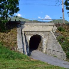
Eisenbahnbrücke, 2 Brücken zw. Gurglbachviadukt u. Aufnahmsgebäude Reith
348 m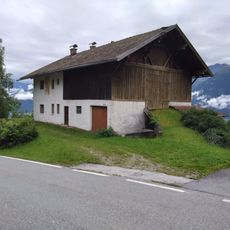
Bauernhaus Römerstraße 47, Reith bei Seefeld
140 m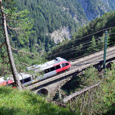
Kaiserstandviadukt
2.1 km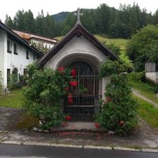
Nikolauskapelle, Reith bei Seefeld
454 m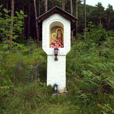
Marienbildstock, Leithen
1.6 km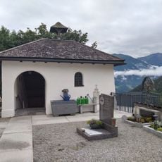
Totenkapelle, Reith bei Seefeld
187 mRecensioni
Ha visitato questo luogo? Tocchi le stelle per valutarlo e condividere la Sua esperienza o foto con la community! Provalo ora! Puoi annullarlo in qualsiasi momento.
Scopri tesori nascosti ad ogni viaggio!
Da piccoli caffè caratteristici a panorami nascosti, fuggi dalla folla e scova i posti che fanno davvero per te. La nostra app ti semplifica tutto: ricerca vocale, filtri furbi, percorsi ottimizzati e dritte autentiche da viaggiatori di tutto il mondo. Scaricala subito per vivere l'avventura sul tuo smartphone!

Un nuovo approccio alla scoperta turistica❞
— Le Figaro
Tutti i luoghi che meritano di essere esplorati❞
— France Info
Un’escursione su misura in pochi clic❞
— 20 Minutes