
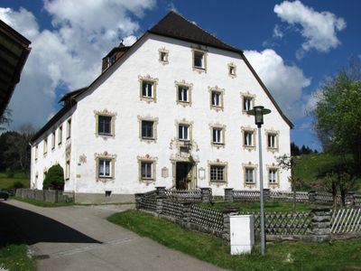
Fürstbischöfliches Amtshaus, building in Rettenberg, Swabia, Germany
Posizione: Rettenberg
Indirizzo: Amthausstraße 19
Coordinate GPS: 47.61491,10.33520
Ultimo aggiornamento: 17 aprile 2025 alle 02:44
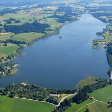
Rottachsee
1.6 km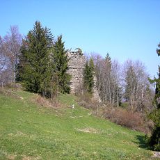
Burg Rettenberg
577 m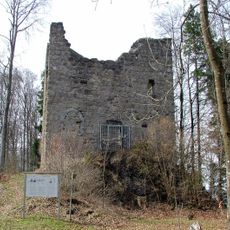
Burg Langenegg
3.1 km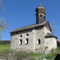
St. Nikolaus
1.8 km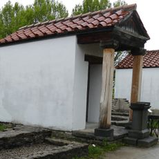
Loja-Kapelle
3.6 km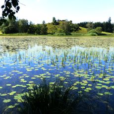
Widdumer Weiher
2.8 km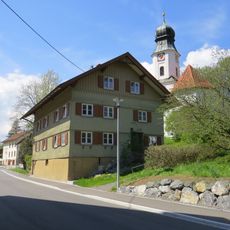
Rectory
3.1 km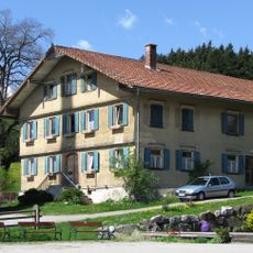
Rectory
597 m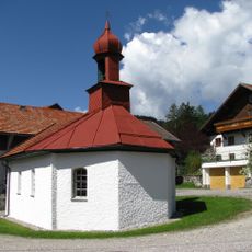
Kapelle
108 m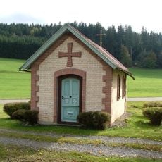
Wegkapelle
3.3 km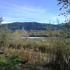
Illerschleife oberhalb Martinszell und unteres Rottachtal
1.6 km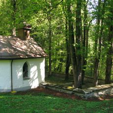
Pestfriedhof Vorderburg
1 km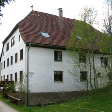
Ehemalige Riedermühle
1.7 km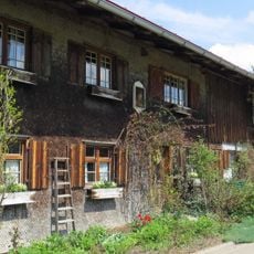
Ehemaliges Bauernhaus
2.1 km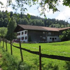
Ehemaliges Bauernhaus
3.4 km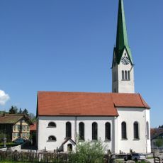
St. Blasius
625 m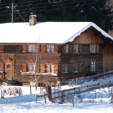
Bauernhaus
2.5 km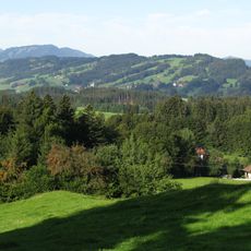
Rottachberg und Rottachschlucht
2.4 km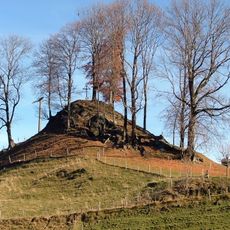
Cultural heritage D-7-8427-0018 in Rettenberg
3.2 km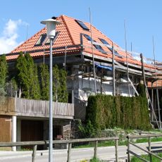
Ehemaliges Kaplanhaus
501 m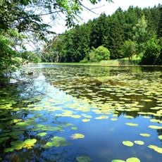
Naturschutzgebiet 'Widdumer Weiher' und Wasenmoos
3 km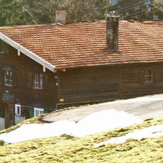
Bauernhaus
3.2 km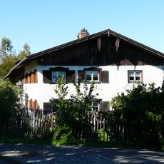
Bauernhaus
2.2 km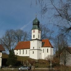
St. Antonius
3.2 km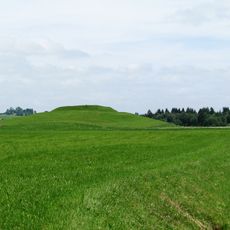
Cultural heritage D-7-8427-0010 in Rettenberg
1.8 km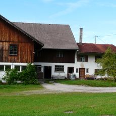
Wohnteil eines Bauernhauses
3.3 km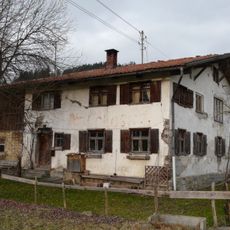
Bauernhaus
3.5 km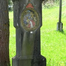
Kreuzwegstationen
801 mRecensioni
Ha visitato questo luogo? Tocchi le stelle per valutarlo e condividere la Sua esperienza o foto con la community! Provalo ora! Puoi annullarlo in qualsiasi momento.
Scopri tesori nascosti ad ogni viaggio!
Da piccoli caffè caratteristici a panorami nascosti, fuggi dalla folla e scova i posti che fanno davvero per te. La nostra app ti semplifica tutto: ricerca vocale, filtri furbi, percorsi ottimizzati e dritte autentiche da viaggiatori di tutto il mondo. Scaricala subito per vivere l'avventura sul tuo smartphone!

Un nuovo approccio alla scoperta turistica❞
— Le Figaro
Tutti i luoghi che meritano di essere esplorati❞
— France Info
Un’escursione su misura in pochi clic❞
— 20 Minutes