
Moore bei Christinenthal, protected area in the European Union defined by the habitats directive in Schleswig-Holstein, Germany
Posizione: Steinburg
Inizio: 2004
Coordinate GPS: 54.03534,9.56400
Ultimo aggiornamento: 2 marzo 2025 alle 22:15

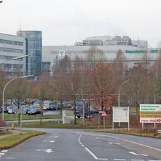
Fraunhofer Institute for Silicon Technology
10.2 km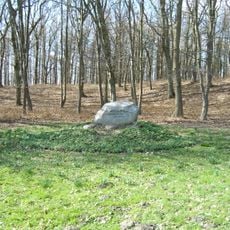
Kaaksburg
6.6 km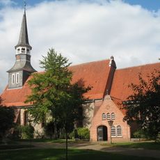
Bonifatiuskirche
5.5 km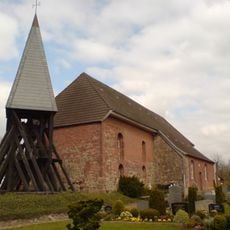
St Michaelis Kirche, Hohenaspe
5.6 km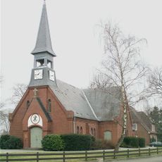
Christuskirche (Hennstedt)
9.9 km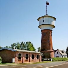
Wasserturm Hohenlockstedt
8.3 km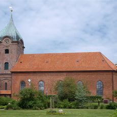
Peter-Pauls-Kirche (Hohenwestedt)
8.4 km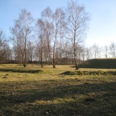
Krinkberg
6 km
Amt Hohenwestedt-Land
8.6 km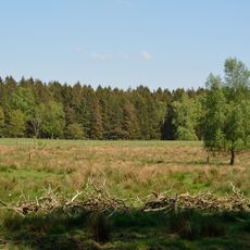
Reher Kratt
3 km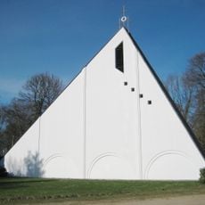
Dreifaltigkeitskirche (Hohenlockstedt)
8.2 km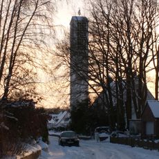
St.-Jakobi-Kirche
10.7 km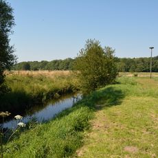
Rantzau-Tal
7.5 km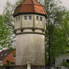
Wasserturm Remmels
10.8 km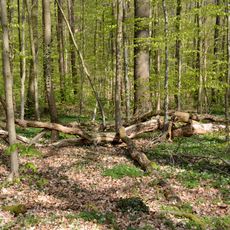
Landschaftsbestandteile und Landschaftsteile im Bereich mehrerer Gemeinden (2)
10.3 km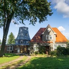
Windmühle Puls
5.9 km
Lohmühlenteich
7.8 km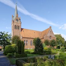
Todenbüttel Kirche
10.5 km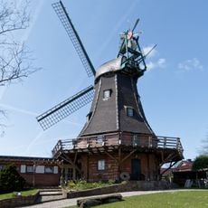
Windmühle „Senta“
10.5 km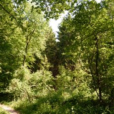
Joachimsquelle
9.3 km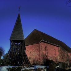
Kirche St. Michaelis mit Ausstattung
5.6 km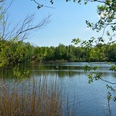
Reher Kratt
3 km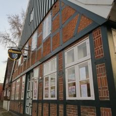
Heimatmuseum Burmesterhaus
8.5 km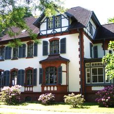
Rathaus (ehemaliges Kommandantenwohnhaus)
8.9 km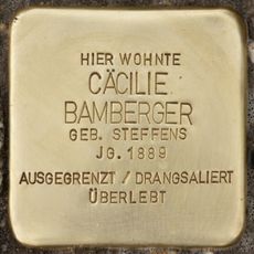
Stolperstein dedicated to Cäcilie Bamberger
10.9 km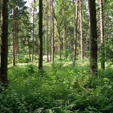
Twiedtberge mit Umgebung
10.1 km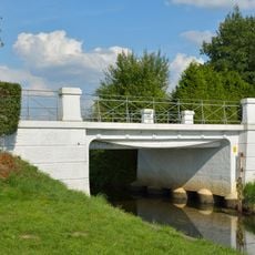
Sog. Fischbauchbrücke
7.8 km
Remise
8.9 kmRecensioni
Ha visitato questo luogo? Tocchi le stelle per valutarlo e condividere la Sua esperienza o foto con la community! Provalo ora! Puoi annullarlo in qualsiasi momento.
Scopri tesori nascosti ad ogni viaggio!
Da piccoli caffè caratteristici a panorami nascosti, fuggi dalla folla e scova i posti che fanno davvero per te. La nostra app ti semplifica tutto: ricerca vocale, filtri furbi, percorsi ottimizzati e dritte autentiche da viaggiatori di tutto il mondo. Scaricala subito per vivere l'avventura sul tuo smartphone!

Un nuovo approccio alla scoperta turistica❞
— Le Figaro
Tutti i luoghi che meritano di essere esplorati❞
— France Info
Un’escursione su misura in pochi clic❞
— 20 Minutes