
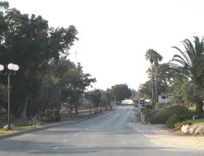
Na'an, human settlement
Posizione: Gezer Regional Council
Inizio: 1930
Altezza sopra il mare: 90 m
Sito web: http://naan.org.il
Coordinate GPS: 31.88500,34.85861
Ultimo aggiornamento: 3 marzo 2025 alle 21:14
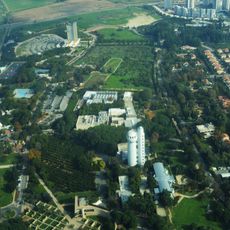
Istituto Weizmann
5.3 km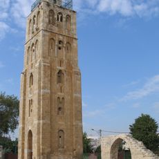
Moschea Bianca
4.8 km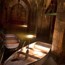
Pool of the Arches
5.3 km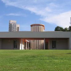
Weizmann House
4.5 km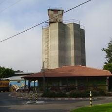
Kfar Bilu
3.2 km
Ganei Hadar
824 m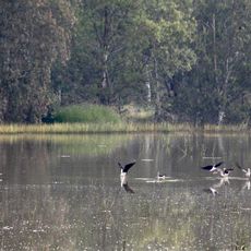
Rehovot winter puddle
3 km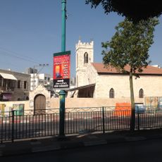
Old City of Ramla
4.6 km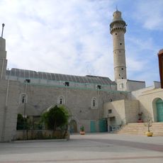
Great Mosque of Ramla
4.7 km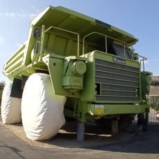
Israel trucks museum
5.2 km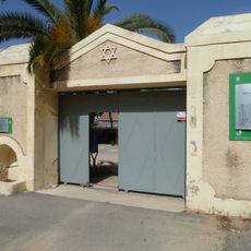
Pardes Minkov
5.1 km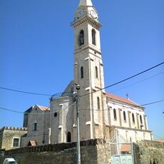
St. Nicodemus and Joseph of Arimathea Church
4.8 km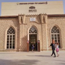
Rehovot Assembly Hall
4.2 km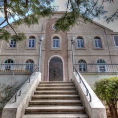
Beit haKnesset haGadol, Rehovot
4.1 km
מוזיאון גן המדע ע"ש קלור - מכון דוידסון
5.1 km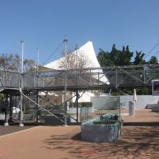
Clore Garden of Science
5.1 km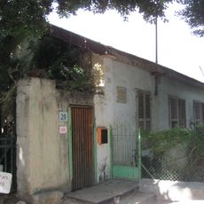
Rehovot Yosefzon House
4.5 km
סליק בית החמרה בנען
166 m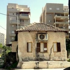
The synagogue of the immigrats of Haidan
4 km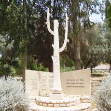
Monument to the Fallen of the 42nd Kiryati Battalion at the War of Independence, Ramle
5.4 km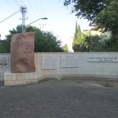
Givati 55th Battalion memorial
5.1 km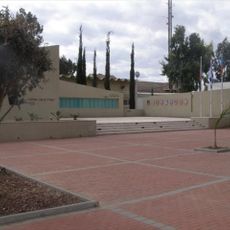
אנדרטה לנופלי פיקוד העורף
3.9 km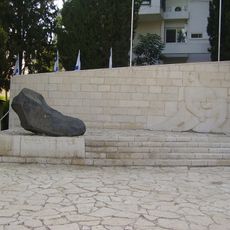
Memorial to the Fallen of Rehovot
4.4 km
Dondikov's House
4.4 km
Semaphore
5.3 km
Memorial to Victims of the Holocaust
4.6 km
Rehovot Military Cemetery
3.4 km
Ramleh Military Cemetery
4.8 kmRecensioni
Ha visitato questo luogo? Tocchi le stelle per valutarlo e condividere la Sua esperienza o foto con la community! Provalo ora! Puoi annullarlo in qualsiasi momento.
Scopri tesori nascosti ad ogni viaggio!
Da piccoli caffè caratteristici a panorami nascosti, fuggi dalla folla e scova i posti che fanno davvero per te. La nostra app ti semplifica tutto: ricerca vocale, filtri furbi, percorsi ottimizzati e dritte autentiche da viaggiatori di tutto il mondo. Scaricala subito per vivere l'avventura sul tuo smartphone!

Un nuovo approccio alla scoperta turistica❞
— Le Figaro
Tutti i luoghi che meritano di essere esplorati❞
— France Info
Un’escursione su misura in pochi clic❞
— 20 Minutes