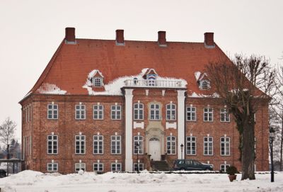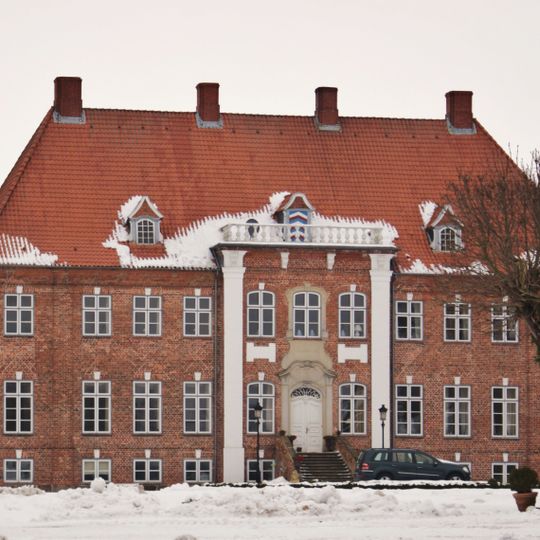
Dobersdorf, municipality of Germany
Posizione: Plön District
Altezza sopra il mare: 22 m
Sito web: https://dobersdorf.de
Coordinate GPS: 54.31667,10.26667
Ultimo aggiornamento: 10 marzo 2025 alle 01:17
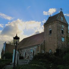
Saint Mary Church
3.4 km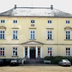
Gut Rastorf
5.3 km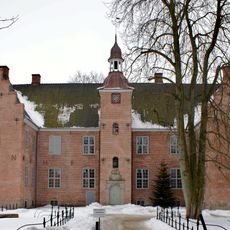
Hagen Castle
5 km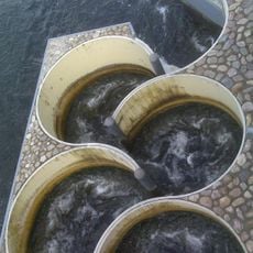
Meander fish passes
3.4 km
Altarm der Schwentine
3.1 km
Gedenkstätte bei Voßberg
3.9 km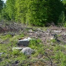
Großsteingrab Dobersdorf 3
2.1 km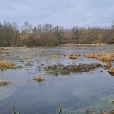
Moorweiher bei Rastorf
4.8 km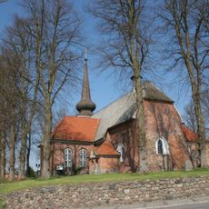
Kirche St. Katharinen mit Ausstattung
5.3 km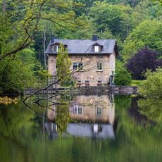
Dobersdorfer See, Passader See mit dem Oberlauf der Hagener Au, Kasseteiche und Umgebung
3.9 km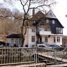
Howaldt’sche Villa
3.3 km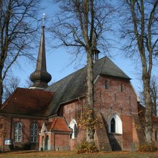
St. Katharinenkirche
5.3 km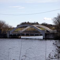
Weiße Brücke
3.8 km
Bothkamper See, Tal der Drögen Eider und Umgebung
3.2 km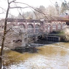
Hydroelectric power station Schwentine II
3.4 km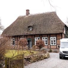
Ehem. Försterei
4.9 km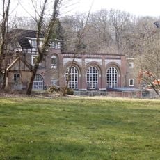
Hydropower plant Schwentine I
3.3 km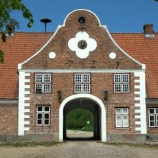
Gut Rastorf: Torhaus
5.2 km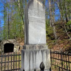
Gedenkstein auf Gut Rastorf
5 km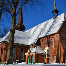
Kirche St. Katharinen
5.3 km
Ehem. Krug „Blauer Löwe“
4.9 km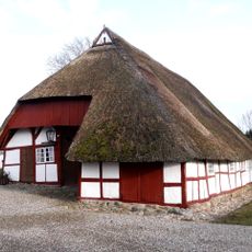
Am Dorfteich 5a
3.2 km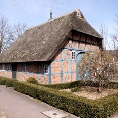
Bahnhofstraße 1
4.2 km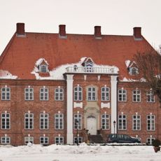
Gut Dobersdorf: Herrenhaus
1.6 km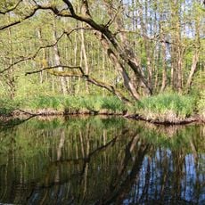
Untere Schwentine
4.2 km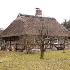
Arbeiterwohnhaus Lange Reihe 10
5 km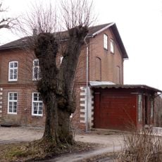
Inspektorenwohnhaus
5.1 km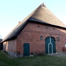
Fachhallenhaus Dorfstraße 29
3.3 kmRecensioni
Ha visitato questo luogo? Tocchi le stelle per valutarlo e condividere la Sua esperienza o foto con la community! Provalo ora! Puoi annullarlo in qualsiasi momento.
Scopri tesori nascosti ad ogni viaggio!
Da piccoli caffè caratteristici a panorami nascosti, fuggi dalla folla e scova i posti che fanno davvero per te. La nostra app ti semplifica tutto: ricerca vocale, filtri furbi, percorsi ottimizzati e dritte autentiche da viaggiatori di tutto il mondo. Scaricala subito per vivere l'avventura sul tuo smartphone!

Un nuovo approccio alla scoperta turistica❞
— Le Figaro
Tutti i luoghi che meritano di essere esplorati❞
— France Info
Un’escursione su misura in pochi clic❞
— 20 Minutes
