
The Woolpack Public House, pub in Weldon, Corby, Northamptonshire, UK
Posizione: Weldon
Indirizzo: 21 Stamford Road, Weldon, Corby, NN17 3JL NN17 3JL NN17 3JL
Coordinate GPS: 52.49690,-0.63433
Ultimo aggiornamento: 3 marzo 2025 alle 00:11

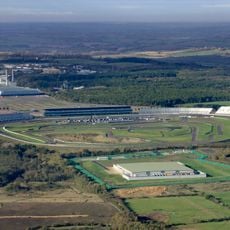
Circuito di Rockingham
2.6 km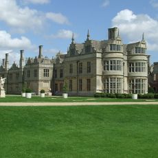
Kirby Hall
3.1 km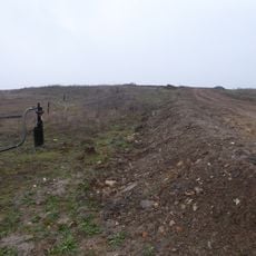
Cowthick Quarry
1.7 km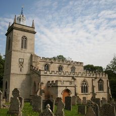
Church of St Mary the Virgin
314 m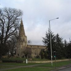
Church of St John the Baptist
3.1 km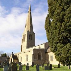
Church of St Peter
3.1 km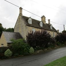
20, Church Street
401 m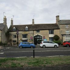
The George Hotel And Restaurant
90 m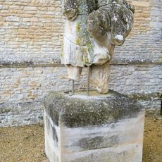
Statue Approximately 120 Metres East Of Garden Front Of Kirby Hall
3 km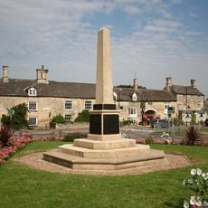
Weldon War Memorial, Northamptonshire
129 m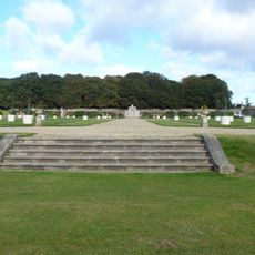
Steps Approximately 60 Meteres South West Of Garden Front Of Kirby Hall
3 km
Group Of Kerbstones In Forecourt, Kirby Hall
3.1 km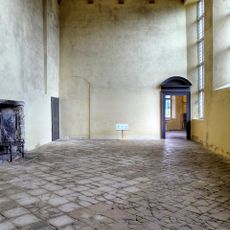
Kirby Hall: an Elizabethan country house and gardens and the remains of the medieval village of Kirby
2.9 km
Sunnydene
3.4 km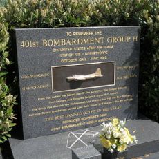
401st Bombardment Group USAAF Memorial, Deenethorpe
3.2 km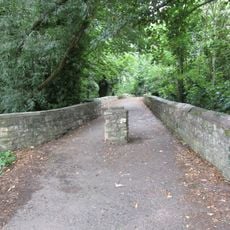
Causeway
231 m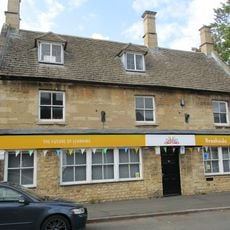
57, High Street
3.3 km
9, 10 And 11, School Lane
84 m
Home Farmhouse
3.3 km
The Rosary
39 m
75 And 77, High Street
3.2 km
27, High Street
166 m
The Old Rectory Lodge
413 m
11, Stamford Road
55 m
The Old School House And Attached Studio
3.2 km
Corby War Memorial
3.2 km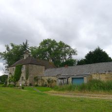
Weldon Lodge
1.9 km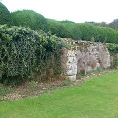
Retaining Wall Attached To South Of Garden Front Of Kirby Hall
3 kmRecensioni
Ha visitato questo luogo? Tocchi le stelle per valutarlo e condividere la Sua esperienza o foto con la community! Provalo ora! Puoi annullarlo in qualsiasi momento.
Scopri tesori nascosti ad ogni viaggio!
Da piccoli caffè caratteristici a panorami nascosti, fuggi dalla folla e scova i posti che fanno davvero per te. La nostra app ti semplifica tutto: ricerca vocale, filtri furbi, percorsi ottimizzati e dritte autentiche da viaggiatori di tutto il mondo. Scaricala subito per vivere l'avventura sul tuo smartphone!

Un nuovo approccio alla scoperta turistica❞
— Le Figaro
Tutti i luoghi che meritano di essere esplorati❞
— France Info
Un’escursione su misura in pochi clic❞
— 20 Minutes