
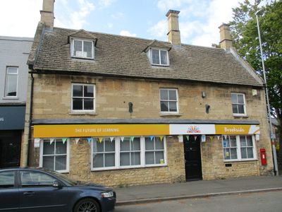
57, High Street, building in Corby, Northamptonshire, UK
Posizione: North Northamptonshire
Coordinate GPS: 52.49099,-0.68217
Ultimo aggiornamento: 3 marzo 2025 alle 00:48
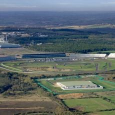
Circuito di Rockingham
3.2 km
Rockingham Castle
3.7 km
Corby Cube
1.6 km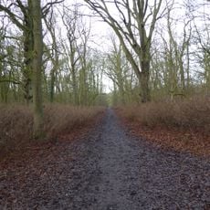
King's Wood, Corby
3.6 km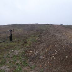
Cowthick Quarry
3.1 km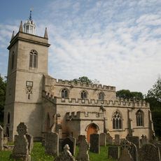
Church of St Mary the Virgin
3.2 km
Church of St Leonard, Rockingham
3.8 km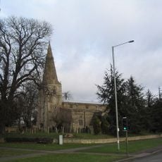
Church of St John the Baptist
308 m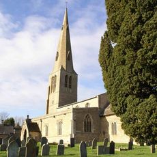
Church of St Peter
2.8 km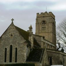
Church of St Peter
3.4 km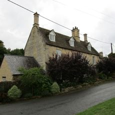
20, Church Street
3.2 km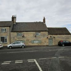
The Woolpack Public House
3.3 km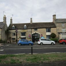
The George Hotel And Restaurant
3.2 km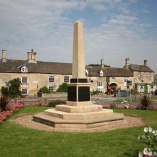
Weldon War Memorial, Northamptonshire
3.2 km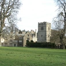
Great Oakley Hall and Attached Gazebo
3.9 km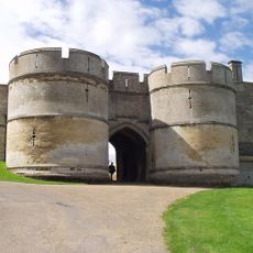
Curtain Wall, Gates And Gatepiers Attached To And Approximately 50 Metres North And West Of Rockingham Castle
3.8 km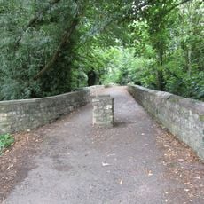
Causeway
3.2 km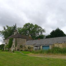
Weldon Lodge
3.2 km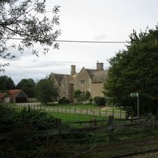
Manor Farmhouse and Attached Outbuildings
3.4 km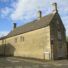
The Old School House And Attached Studio
108 m
The Rosary
3.3 km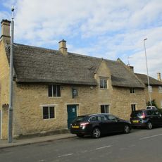
75 And 77, High Street
71 m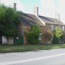
20, A6003
3.9 km
11, Stamford Road
3.3 km
9, 10 And 11, School Lane
3.3 km
27, High Street
3.2 km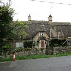
The Old Rectory Lodge
3.2 km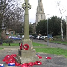
Corby War Memorial
257 mRecensioni
Ha visitato questo luogo? Tocchi le stelle per valutarlo e condividere la Sua esperienza o foto con la community! Provalo ora! Puoi annullarlo in qualsiasi momento.
Scopri tesori nascosti ad ogni viaggio!
Da piccoli caffè caratteristici a panorami nascosti, fuggi dalla folla e scova i posti che fanno davvero per te. La nostra app ti semplifica tutto: ricerca vocale, filtri furbi, percorsi ottimizzati e dritte autentiche da viaggiatori di tutto il mondo. Scaricala subito per vivere l'avventura sul tuo smartphone!

Un nuovo approccio alla scoperta turistica❞
— Le Figaro
Tutti i luoghi che meritano di essere esplorati❞
— France Info
Un’escursione su misura in pochi clic❞
— 20 Minutes