Shotwick Park

Accedi al tuo account

AroundUs è una mappa collaborativa di luoghi interessanti, costruita da esploratori curiosi come te. Cresce con ogni recensione, storia e foto che condividi.
Accedi per salvare i tuoi posti preferiti, contribuire con nuovi luoghi e creare percorsi personalizzati.
Continuando, accetti i nostri Termini e Condizioni e la nostra Informativa sulla Privacy

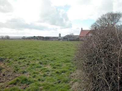
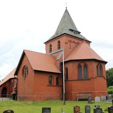
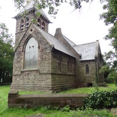
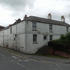
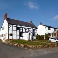
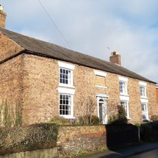
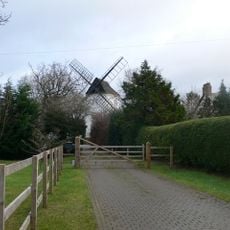
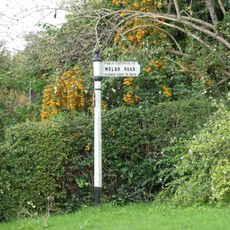
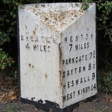
Shotwick Park, former civil parish in Cheshire, United Kingdom

Posizione: Saughall and Shotwick Park

Coordinate GPS: 53.23330,-2.96667

Ultimo aggiornamento: 2 aprile 2025 alle 23:59

Intorno a questo luogo
Mostra la mappa completa
Shotwick Castle
Regno Unito

Shotwick Castle

924 m
Shotwick House
Regno Unito

Shotwick House

890 m
St Michael's Church, Shotwick
Regno Unito

St Michael's Church, Shotwick

2 km
Shotwick Hall
Regno Unito

Shotwick Hall

2 km
All Saints Church, Great Saughall
Regno Unito

All Saints Church, Great Saughall

1 km
St Bartholomew's Church, Sealand
Regno Unito

St Bartholomew's Church, Sealand

2.3 km
Churchyard boundary wall, Church of St Bartholomew
Regno Unito

Churchyard boundary wall, Church of St Bartholomew

2.3 km
The Old Swinging Gate Inn
Regno Unito

The Old Swinging Gate Inn

1.3 km
Bridge Farmhouse
Regno Unito

Bridge Farmhouse

1.3 km
Gates, gatepiers and churchyard wall along north side of Shotwick Lane
Regno Unito

Gates, gatepiers and churchyard wall along north side of Shotwick Lane

2 km
Front garden walls and gatepiers at Shotwick Hall
Regno Unito

Front garden walls and gatepiers at Shotwick Hall

2.1 km
Tombchest of Robert and Martha Ellison, 10 metres southwest of south corner of tower of Church of St Michael
Regno Unito

Tombchest of Robert and Martha Ellison, 10 metres southwest of south corner of tower of Church of St Michael

2 km
Manor Farmhouse
Regno Unito

Manor Farmhouse

1.9 km
Former kitchen or bakehouse attached to north east corner of Shotwick Hall
Regno Unito

Former kitchen or bakehouse attached to north east corner of Shotwick Hall

2.1 km
Tombchest of John Nevett Bennett, 5 metres west of south porch of St Michael's Church
Regno Unito

Tombchest of John Nevett Bennett, 5 metres west of south porch of St Michael's Church

2 km
L-shaped ranges of farm buildings 60 metres north of Shotwick Hall
Regno Unito

L-shaped ranges of farm buildings 60 metres north of Shotwick Hall

2.1 km
Granary 30 metres east of Shotwicklodge Farmhouse
Regno Unito

Granary 30 metres east of Shotwicklodge Farmhouse

480 m
Sundial in the churchyard of St Michael
Regno Unito

Sundial in the churchyard of St Michael

2 km
Tombchest of James Phillips, 2 metres south of the sundial in the Churchyard of St Michael
Regno Unito

Tombchest of James Phillips, 2 metres south of the sundial in the Churchyard of St Michael

2 km
Tombchest of Rev M Reay and 4 children, 8 metres south of south porch of Church of St Michael
Regno Unito

Tombchest of Rev M Reay and 4 children, 8 metres south of south porch of Church of St Michael

2 km
Greyhound Farmhouse
Regno Unito

Greyhound Farmhouse

1.9 km
Aldersey House
Regno Unito

Aldersey House

1.2 km
Tombchest of William Briscoe (died 1723) and others, 4 metres west of priest's door to St Michael's Church
Regno Unito

Tombchest of William Briscoe (died 1723) and others, 4 metres west of priest's door to St Michael's Church

2 km
Tombchest of William Briscoe (died 1704) and others, 5 metres southwest of priest's door to St Michael's Church
Regno Unito

Tombchest of William Briscoe (died 1704) and others, 5 metres southwest of priest's door to St Michael's Church

2 km
Gibbet Windmill
Regno Unito

Gibbet Windmill

1.3 km
Vicarage Farmhouse
Regno Unito

Vicarage Farmhouse

2 km
Footpath guidepost 25 metres south west of Bridge Farmhouse
Regno Unito

Footpath guidepost 25 metres south west of Bridge Farmhouse

1.3 km
Milepost, Saughall Nurseries
Regno Unito

Milepost, Saughall Nurseries

1.4 km
Mostra la mappa completa

Recensioni

Ha visitato questo luogo? Tocchi le stelle per valutarlo e condividere la Sua esperienza o foto con la community! Provalo ora! Puoi annullarlo in qualsiasi momento.

« Shotwick Park - former civil parish in Cheshire, United Kingdom » è fornito da Around Us (it.aroundus.com). Le immagini e i testi sono tratti dal progetto Wikimedia con licenza Creative Commons. È possibile copiare, distribuire e modificare copie di questa pagina, alle condizioni stabilite dalla licenza, a condizione che questa nota sia chiaramente visibile.

Scopri tesori nascosti ad ogni viaggio!

Da piccoli caffè caratteristici a panorami nascosti, fuggi dalla folla e scova i posti che fanno davvero per te. La nostra app ti semplifica tutto: ricerca vocale, filtri furbi, percorsi ottimizzati e dritte autentiche da viaggiatori di tutto il mondo. Scaricala subito per vivere l'avventura sul tuo smartphone!

Around Us App Screenshot

Un nuovo approccio alla scoperta turistica

Le Figaro

Tutti i luoghi che meritano di essere esplorati

France Info

Un’escursione su misura in pochi clic

20 Minutes