
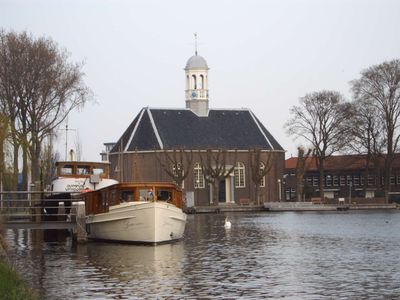
Thamerkerk, Uithoorn, church building in Uithoorn, Netherlands
Posizione: Uithoorn
Inizio: 1830s
Indirizzo: Amsteldijk-Noord 1
Coordinate GPS: 52.23616,4.83972
Ultimo aggiornamento: 3 marzo 2025 alle 00:39
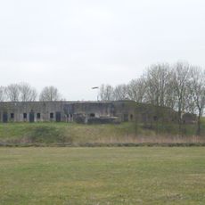
Fort bij Uithoorn
918 m
Station Uithoorn
359 m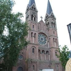
Sint-Jan de Doperkerk (Uithoorn)
876 m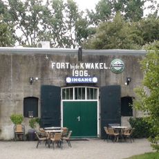
Fort near De Kwakel
3.4 km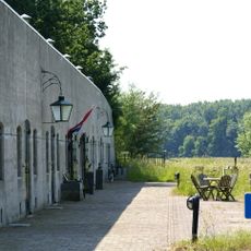
Fort aan de Drecht
1.9 km
Fort Waver-Amstel
2.6 km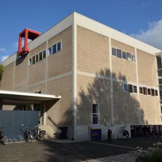
De Hoeksteen
1.3 km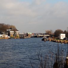
Prinses Irenebrug
794 m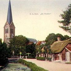
Sint-Johannes Geboortekerk
3.1 km
Busbrug Uithoorn
348 m
Jac.C. Keabrug
3.1 km
Eerste bedijking der Mijdrechtse droogmakerij
1.7 km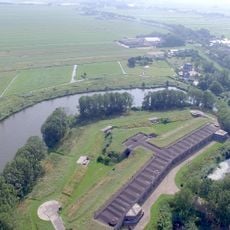
Tweede bedijking der Mijdrechtse droogmakerij
1.9 km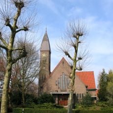
Kerk
710 m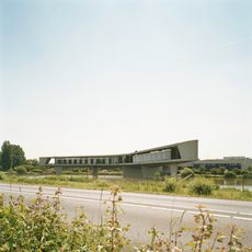
Groot Mijdrechtstraat 81, Mijdrecht
3.3 km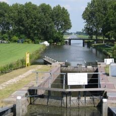
Pondskoekersluis
2.7 km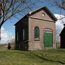
Gemaal Blokland
2.4 km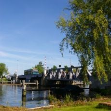
Stalen spoorbrug
353 m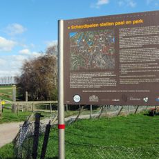
Grenspalen in De Ronde Venen
3.5 km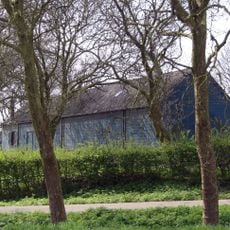
Genieloods
800 m
Dorpsstraat 36a, Uithoorn
666 m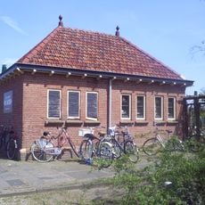
Station Uithoorn: toiletgebouw
376 m
Leeuwarden: langhuisboerdij met zomerhuis
2.6 km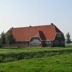
Boerderij in traditionele stijl, met Delftse school-invloeden
3 km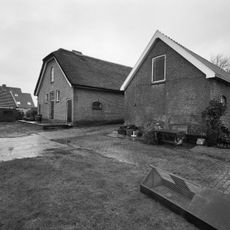
Nooit Gedacht: stalgebouw
2.1 km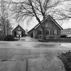
Nooit Gedacht
2.1 km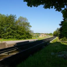
Uitstroomgoot met uitwateringsluis t.b.v. gemaal van de Noorder Legmeer en Thamerpolder
1.1 km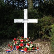
Herdenkingskruis fusillade Koop Peters
3.4 kmRecensioni
Ha visitato questo luogo? Tocchi le stelle per valutarlo e condividere la Sua esperienza o foto con la community! Provalo ora! Puoi annullarlo in qualsiasi momento.
Scopri tesori nascosti ad ogni viaggio!
Da piccoli caffè caratteristici a panorami nascosti, fuggi dalla folla e scova i posti che fanno davvero per te. La nostra app ti semplifica tutto: ricerca vocale, filtri furbi, percorsi ottimizzati e dritte autentiche da viaggiatori di tutto il mondo. Scaricala subito per vivere l'avventura sul tuo smartphone!

Un nuovo approccio alla scoperta turistica❞
— Le Figaro
Tutti i luoghi che meritano di essere esplorati❞
— France Info
Un’escursione su misura in pochi clic❞
— 20 Minutes