
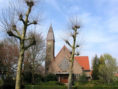
Kerk, church building in De Ronde Venen, Netherlands
Posizione: De Ronde Venen
Architetti: Bastiaan Willem Plooij
Indirizzo: Piet Heinlaan 3 1427AB 1427AB
Coordinate GPS: 52.23098,4.83365
Ultimo aggiornamento: 3 marzo 2025 alle 03:54
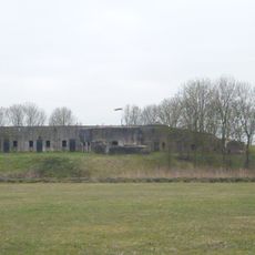
Fort bij Uithoorn
435 m
Station Uithoorn
427 m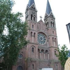
Sint-Jan de Doperkerk (Uithoorn)
340 m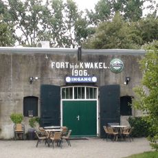
Fort near De Kwakel
3.1 km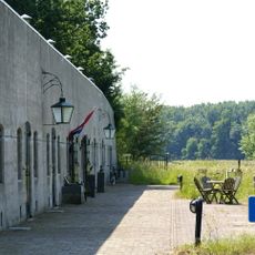
Fort aan de Drecht
1.4 km
Fort Waver-Amstel
3.3 km
De Hoeksteen
1.6 km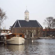
Thamerkerk, Uithoorn
710 m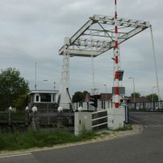
Vrouwenakker bridge
3.4 km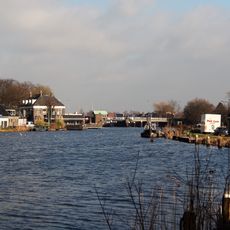
Prinses Irenebrug
181 m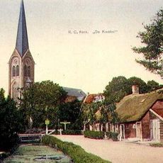
Sint-Johannes Geboortekerk
2.8 km
Busbrug Uithoorn
371 m
Eerste bedijking der Mijdrechtse droogmakerij
1.9 km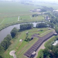
Tweede bedijking der Mijdrechtse droogmakerij
1.4 km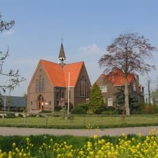
Antonius van Paduakerk
3.3 km
Groot Mijdrechtstraat 81, Mijdrecht
3.3 km
Stalen spoorbrug
393 m
Pondskoekersluis
2 km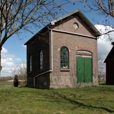
Gemaal Blokland
1.7 km
Dorpsstraat 23, Mijdrecht
3.4 km
Nooit Gedacht: stalgebouw
1.8 km
Genieloods
318 m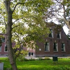
Leeuwarden: langhuisboerdij met zomerhuis
2.2 km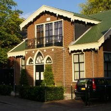
Dorpsstraat 36a, Uithoorn
234 m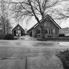
Nooit Gedacht
1.9 km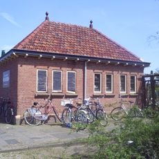
Station Uithoorn: toiletgebouw
415 m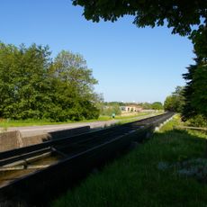
Uitstroomgoot met uitwateringsluis t.b.v. gemaal van de Noorder Legmeer en Thamerpolder
1.8 km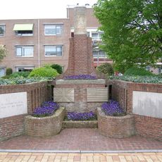
Monument 1940-1945
3.3 kmRecensioni
Ha visitato questo luogo? Tocchi le stelle per valutarlo e condividere la Sua esperienza o foto con la community! Provalo ora! Puoi annullarlo in qualsiasi momento.
Scopri tesori nascosti ad ogni viaggio!
Da piccoli caffè caratteristici a panorami nascosti, fuggi dalla folla e scova i posti che fanno davvero per te. La nostra app ti semplifica tutto: ricerca vocale, filtri furbi, percorsi ottimizzati e dritte autentiche da viaggiatori di tutto il mondo. Scaricala subito per vivere l'avventura sul tuo smartphone!

Un nuovo approccio alla scoperta turistica❞
— Le Figaro
Tutti i luoghi che meritano di essere esplorati❞
— France Info
Un’escursione su misura in pochi clic❞
— 20 Minutes