
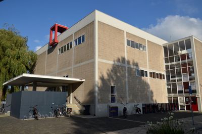
De Hoeksteen, building in Uithoorn, Netherlands
Posizione: Uithoorn
Inizio: 1965
Architetti: Gerrit Rietveld
Inaugurazione ufficiale: luglio 1965
Stile architettonico: De Stijl
Indirizzo: Alfons Ariënslaan 1
Coordinate GPS: 52.24483,4.82626
Ultimo aggiornamento: 3 marzo 2025 alle 09:27
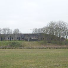
Fort bij Uithoorn
2 km
Station Uithoorn
1.3 km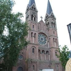
Sint-Jan de Doperkerk (Uithoorn)
1.4 km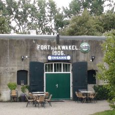
Fort near De Kwakel
2.6 km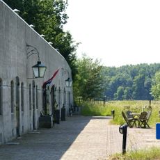
Fort aan de Drecht
2 km
Fort Waver-Amstel
3.1 km
Bovenkerkerpolder
3.3 km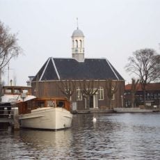
Thamerkerk, Uithoorn
1.3 km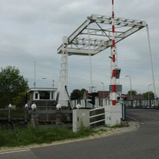
Vrouwenakker bridge
3.4 km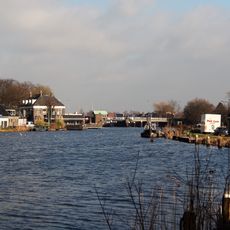
Prinses Irenebrug
1.5 km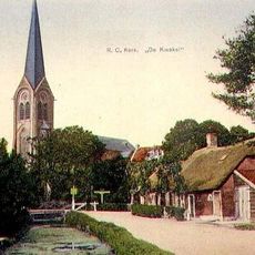
Sint-Johannes Geboortekerk
2.2 km
Busbrug Uithoorn
1.4 km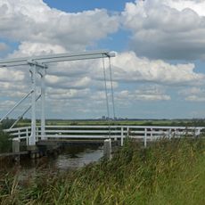
Jac.C. Keabrug
3.5 km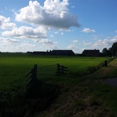
Eerste bedijking der Mijdrechtse droogmakerij
3 km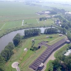
Tweede bedijking der Mijdrechtse droogmakerij
3 km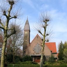
Kerk
1.6 km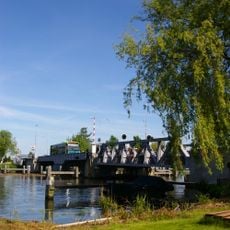
Stalen spoorbrug
1.3 km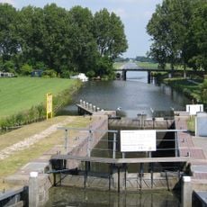
Pondskoekersluis
3.3 km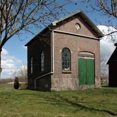
Gemaal Blokland
2.9 km
IJzeren hek tussen bakstenen pijlers als erfscheiding aan de straatzijde, behorend bij het complex 'St. Urbanuskerk te Nes aan de Amstel'
3.6 km
Genieloods
1.9 km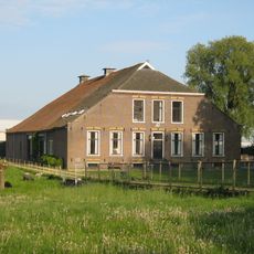
Boerderij "Het zwarte koetje"
3.2 km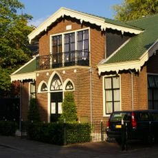
Dorpsstraat 36a, Uithoorn
1.4 km
Station Uithoorn: toiletgebouw
1.3 km
Leeuwarden: langhuisboerdij met zomerhuis
2.1 km
Nooit Gedacht: stalgebouw
1.4 km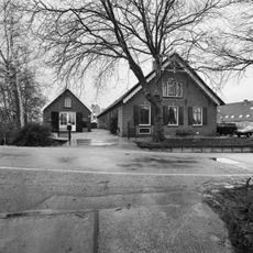
Nooit Gedacht
1.4 km
Uitstroomgoot met uitwateringsluis t.b.v. gemaal van de Noorder Legmeer en Thamerpolder
1.7 kmRecensioni
Ha visitato questo luogo? Tocchi le stelle per valutarlo e condividere la Sua esperienza o foto con la community! Provalo ora! Puoi annullarlo in qualsiasi momento.
Scopri tesori nascosti ad ogni viaggio!
Da piccoli caffè caratteristici a panorami nascosti, fuggi dalla folla e scova i posti che fanno davvero per te. La nostra app ti semplifica tutto: ricerca vocale, filtri furbi, percorsi ottimizzati e dritte autentiche da viaggiatori di tutto il mondo. Scaricala subito per vivere l'avventura sul tuo smartphone!

Un nuovo approccio alla scoperta turistica❞
— Le Figaro
Tutti i luoghi che meritano di essere esplorati❞
— France Info
Un’escursione su misura in pochi clic❞
— 20 Minutes