
Kriegerdenkmal, Denkmal in Dürnstein (84582)
Posizione: Dürnstein
Coordinate GPS: 48.38689,15.54070
Ultimo aggiornamento: 7 marzo 2025 alle 02:33

Domäne Wachau
1.2 km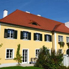
Weingut Emmerich Knoll
154 m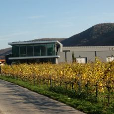
Weingut F. X. Pichler
560 m
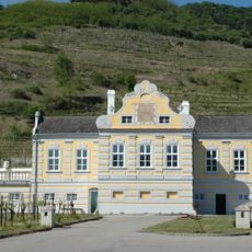
Kellerschlössl Dürnstein
1.2 km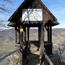
Ferdinand-Warte
644 m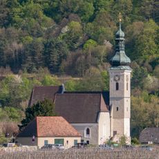
Parish church St. Quirinus
9 m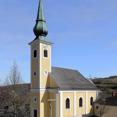
Pfarrkirche Unterbergern
1.3 km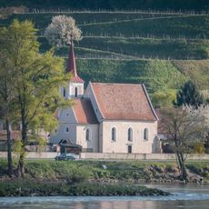
Filialkirche Hundsheim
1.1 km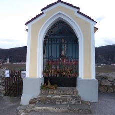
Michaelerkreuz Unterloiben
537 m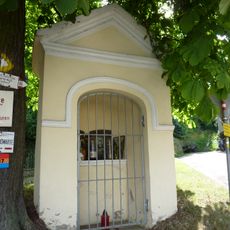
Wegkapelle
1.4 km
Höhereck
1 km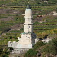
Franzosendenkmal, Dürnstein
849 m
Villa Lindenstöckel Oberloiben
1.4 km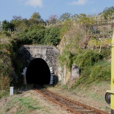
Eisenbahnstrecke, Wachauer Bahn
1.3 km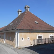
Former rectory Unterbergern
1.3 km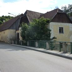
Bauernhof (Anlage)
1.4 km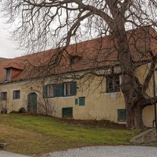
Ehem. Hauerhof „Dinstl-Gut“
569 m
Römerstraße Mauternbach
1.4 km
Ehem. St. Pöltner Hof
1.4 km
Ratscherkreuz Oberloiben
532 m
Ehem. Gartenportal
1.4 km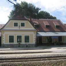
Station building and loading platform of the Dürnstein-Oberloiben railway station
1.4 km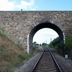
Eisenbahnstrecke der Wachauer Bahn
696 m
Pichlhof
981 m
Mauternbach 18
1.4 km
Pfarrhof
40 m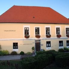
Schule
47 m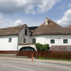
Anlage Guts-/Winzerhof Rothenhof 6
1.4 kmRecensioni
Ha visitato questo luogo? Tocchi le stelle per valutarlo e condividere la Sua esperienza o foto con la community! Provalo ora! Puoi annullarlo in qualsiasi momento.
Scopri tesori nascosti ad ogni viaggio!
Da piccoli caffè caratteristici a panorami nascosti, fuggi dalla folla e scova i posti che fanno davvero per te. La nostra app ti semplifica tutto: ricerca vocale, filtri furbi, percorsi ottimizzati e dritte autentiche da viaggiatori di tutto il mondo. Scaricala subito per vivere l'avventura sul tuo smartphone!

Un nuovo approccio alla scoperta turistica❞
— Le Figaro
Tutti i luoghi che meritano di essere esplorati❞
— France Info
Un’escursione su misura in pochi clic❞
— 20 Minutes